
 |
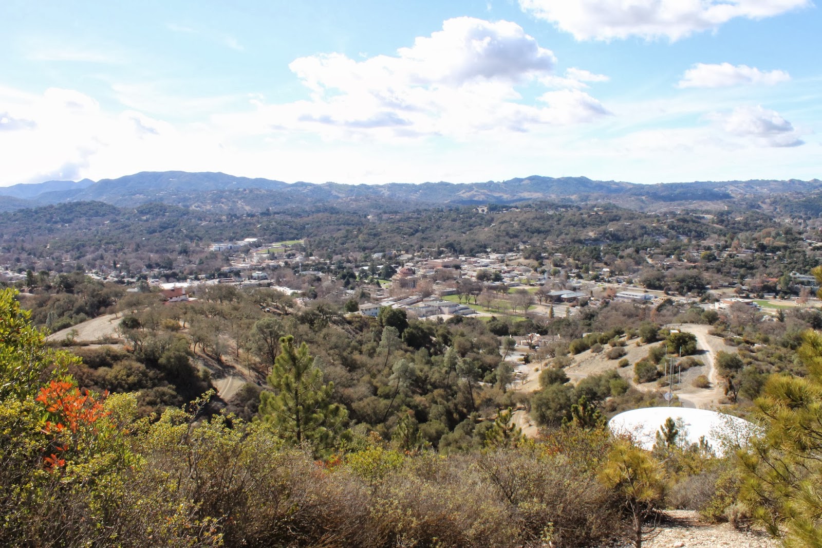
| The view northwest from the northern-most rampart of the mountain. Note the original downtown at center. |
 |
| Detail of the original downtown including the Rotunda Building and the Carlton Hotel as well as Masonic Lodge and Atascadero Junior High School. |
 |
| Very top of the Pine Mountain as viewed from the north looking south at the end of the ascent. |
 |
| View from the top looking northwest. Note the U.S. Coast & Geodetic Survey marker in foreground. |
 |
| Very top of the Pine Mountain as viewed from the south looking north at the beginning of the decent. |
 |
| Pine Mountain now features a marked and maintained trail system. |
 |
| View looking south from the central rampart which forms the joint in the L-shaped ridge line atop the mountain. |
 |
| Another view looking south from the central rampart of the mountain. Note the main drag of town and Chalk Mountain. |
 |
| View looking southeastward from the central rampart. Note the monstrous brown terror at right know as Tequila. |
 |
| The most dramatic remaining evidence to be found atop the mountain of the wildfire here in August, 1997, is this blackened stump. |
 |
| Tequila angling for a kiss beneath the mistletoe. |
 |
| Remember the South Slide Bowl? Any respectable Atascadero childhood involved sliding down this drainage's steepest part at least once... preferably following a rain or hail storm but I did it dry-assed one time. Remember that Jon Marsh? |
 |
| View from the easternmost rampart overlooking my old neighborhood. Note the sewage treatment plant ponds, the railroad tracks and the X formed by the tracks and Curbaril Ave. |
 |
| Vulcan Mesa horse farm has been largely replaced with a vineyard. |
 |
| The main trail leading down into the bowl or to the trailhead directly depending on the route taken. All photos by Kim Patrick Noyes (all rights reserved). |
No comments:
Post a Comment