 |
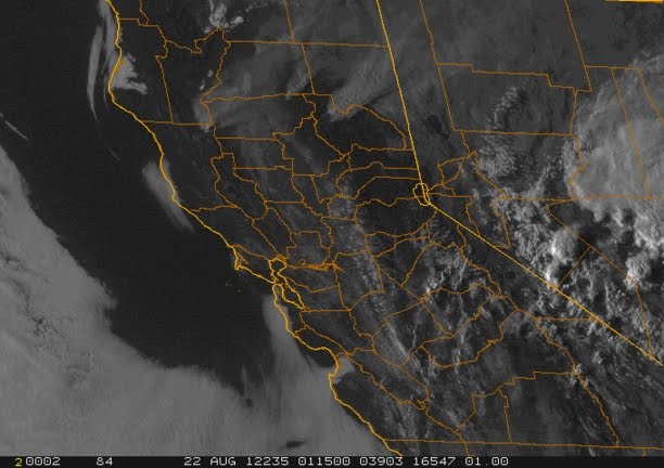
| Today afforded another dramatic view from planetary orbit of the major wildfires ravaging Northern California. The western-most smoke plume is coming from the Pass Fires in northeastern Mendocino County and shows a hint of pyrocumulus cloud atop the primary convection column. The eastern-most smoke plume is coming from the Chips Fire in Plumas County and is so extensive it kept the down-wind Rush Fire in Lassen County calm due to the smokey overcast pall it created. The middle smoke plume is coming from the Ponderosa Fire in Shasta and Tehama Counties. Note the summer monsoonal convection off to the east over western Nevada's Great Basin. Image courtesy of NOAA. |

Tuesday, August 21, 2012
Picture of the Day - NorCal Wildfires From Space
Subscribe to:
Post Comments (Atom)
No comments:
Post a Comment