


 |
| Here is an interesting update to where things stand in regards to reservoir levels throughout the state of California in light of the current historic drought entering its fifth year. Graphic courtesy of Ed Joyce via Twitter (all rights reserved). |
 |
| This was the scene at dusk last night in Dillon Beach, CA. The fire scorched 5 acres of dune grass threatening 19 structures nearby as well as Lawson's Landing Resort. What is ominous about this is that the fire occurred in mid-April in the evening at the coast north of the Bay Area after recent rains and in the ebb flow of a powerful El Nino rainy season which dumped a lot of precipitation on Northern California. If despite all that this grass burned in this fashion lat night then what awaits California over the course of this incipient fire season as the ongoing drought deepens despite the recent rainy reprieve. Photo courtesy of Marin County FD via Twitter (all rights reserved). |
 |
| This is the latest graphic representation of the ongoing historic drought in California as presented by NOAA (all rights reserved). Note: the drought has not be much alleviated by recent rains and thus we are still in severe drought at this point into the ongoing powerful El Niño. |
 |
| A decade ago a weak El Niño was underway which contrary to typical weak El Niños brought a tremendous amount of rain to California yet without disastrous flooding or mudslides. That was 2005, while this is now 2015 which finds California in the midst of the most powerful El Niño ever recorded (according to some metrics) and yet is still in its worst drought on record which is in its third year (not the longest on record but definitely the most severe). It would seem that if past patterns hold true this winter then this drought will either come to an end or at least be significantly reduced. Above is a comparison of nearby Lake Nacimiento and Lake San Antonio. The water level difference is obvious between wet El Niño year and the third year of a crippling drought. Image courtesy of NASA (all rights reserved). |
 |
| Local NBC-TV affiliate KSBY-TV's weatherman Dave Hovdie Tweeted this tonight which I found rather interesting. Image courtesy of KSBY-TV San Luis Obispo (all rights reserved). |
 |
| This storm cell generated nearly constant thunder the entire time our group was stopped here at Sister's Mountain House in Badger, CA. |
 |
| View north on Eshom Valley Drive in Hartland, CA. |
 |
| The drought is obvious even inside the camp. |
 |
| I love this foot bridge (view looking west back towards the road). |
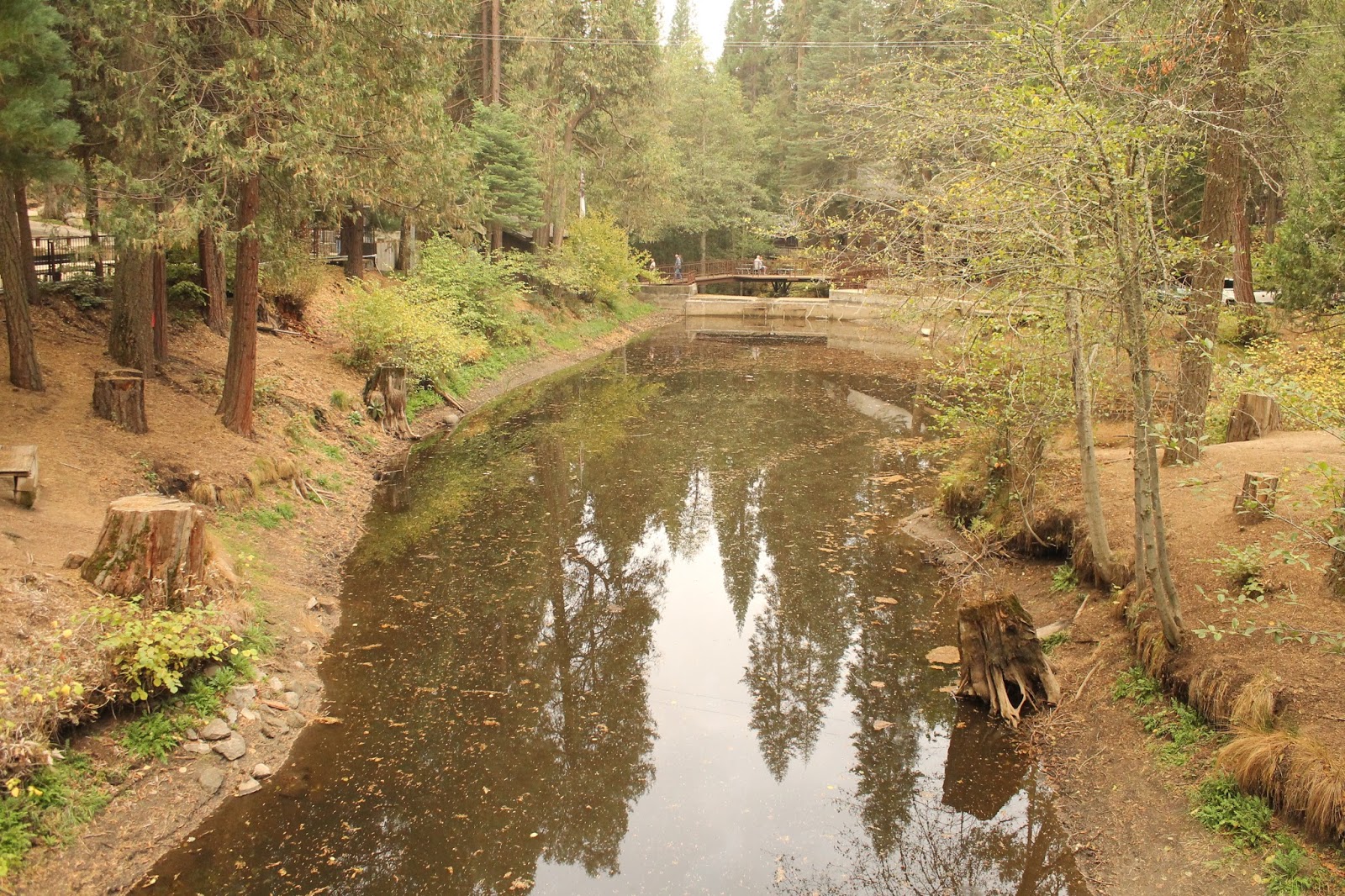 |
| View looking south from the foot bridge. |
 |
| View looking north from the foot bridge. |
 |
| View of the foot bridge looking back towards the east. |
 |
| There are other obvious signs of the drought inside the camp. |
 |
| Camp sanctuary |
 |
| My favorite foot bridge from the main bridge over the dam further south. |
 |
| A closer view of aforementioned foot bridge from same location. |
 |
| On Saturday during our four-hour free time I went on a 4X4 adventure with some of the brothers out into the adjacent national forest on forest roads and was astonished at the tree mortality I observed. |
 |
| This was the worst example of tree mortality I came into close contact with all day. |
 |
| Another shot from the same location on a forest road down the ridge from Highway 198. |
 |
| This view was closer to Badger and Hartland on the ridge just to the north looking out to the west into the Central Valley. This is not autumn color but rather drought mortality color. |
 |
| This was taken in the same area as the previous image but looking east. |
 |
| When fire gets into this forest it will explode be it next year or later. |
 |
| This is the charming dining hall and kitchen building. This morning I awoke to the sound of rolling thunder which was an awesome way to awaken if one must do so before or around 6 a.m. |
 |
| This is the main structure in conference center featuring the office, cafe, and some lodging rooms. |
 |
| I love the curves of my favorite foot bridge. |
 |
| This was one of my other options Saturday. I'm glad I went sightseeing. |
 |
| It rained a little overnight into this morning but not enough to put a dent in the water deficit. |
 |
| One last shot of my favorite foot bridge. |
 |
| We adjourned before taking communion and heading home. |
 |
| The aforementioned dining hall interior. All images by Kim Patrick Noyes (all rights reserved). |
 |
| Each year of the ongoing drought here in California does not stand alone but has cumulative effects as evidenced in this sequence of images from the same webcam in Yosemite showing Half Dome and environs. on March 19th of each year 2012-2015. Image borrowed from CAL FIRE Tweet (all rights reserved). |
 |
| After getting off the beaten path I spotted this concrete structure which normally should be under the waters of the lake. |
 |
| I hiked down to the concrete structure to investigate further and attempt to determine its former purpose. |
 |
| Upon viewing it from the south I determined it was a bridge for the former Pozo Road before the lake was formed. |
 |
| In a normal summer this lake is a great fire break. This year the lake-bed will invite fire across its surface. Note: this is the old Salinas River-bed heavily silted up due to the existence of the lake here since 1941. |
 |
| Mike and Oscar made a discovery on this eroded stone outcropping just above the aforementioned concrete bridge ruin. |
 |
| Chumash bedrock mortars. |
 |
| The choice of location for this bedrock mortar site is obvious given it is at the junction of the Salinas River and a tributary. |
 |
| My little monster amidst these wildflowers. I fear this may be as vivid as wildflowers get this year in the North County. |
 |
| The bed of the Salinas River is outlined as a swath down the middle of the dead reed-covered dry bed of the eastern end of Santa Margarita Lake. |
 |
| We found the remains of an old park outhouse... again off the beaten path we usually take here. All photos by Kim Patrick Noyes (all rights reserved). |
 |
| After a euphoria-inducing rainy-spell last month and the sense California was perhaps in an extended wet weather pattern, a return to the depressing, dry norm of the past few years is now fully set in across most of the state. Just since last week the drought area has of maximum intensity has spread back into areas from whence last month's rains had caused it to retreat. Image courtesy of NOAA (all rights reserved). |
 |
| I found this series of California drought map sequences on the Los Angeles Times website tonight and was immediately taken with it. It is a visual hook for a fascinating interactive drought map HERE. Dark red represents Abnormally Dry zones. Bright red represents zones of Moderate Drought. Orange signifies zones of Severe Drought. Tan represents zones of Extreme Drought. Yellow represents zones of Exceptional Drought. The first row of images starts in September 2012 and ends in January 2013. The second row starts in August 2013 and ends in November 2013. The third row starts in March 2014 and ends in July 2014. The drought has since deepened with only good news for some mountain and desert regions since then due to the summer monsoon. Image courtesy of the Los Angeles Times (all rights reserved). |
 |
| This past Monday I toiled in the earth at Kiler Canyon Farm CSA out in the country several miles southwest of Paso Robles, CA. As always I thoroughly enjoyed the drive out there and back not to mention the atmosphere and vibe and scene at the farm including the wonderful people there. As some of you recall I am a member of that CSA (Community-Supported Agricultural) and have been out there before to help with the harvest. This week being the last week in January and one in which I was out there to help weed and plant, one would expect to see greenery and at least damp soil. As you can see from the image above there is no cover crop in place as there has been no rain and even the natural grasses have not germinated. The road out there was perhaps the dustiest I have ever seen it even compared to Spring into Summer in prior years. Photo by Kim Patrick Noyes (all rights reserved). |

