Showing posts with label hiking. Show all posts

Friday, February 2, 2018

My First 2018 Rinconada Trail Hike

This afternoon I joined my brother by another mother, Mike, and his brother-in-law, for a hike up Rinconada Trail from the trailhead off of Pozo Road to the summit of the Santa Lucia Mountains. in the Santa Lucia District of the Los Padres National Forest. We took the official route up and diverged onto side-routes coming back down. This took us through the upper vestiges of the Rinconada Mine (mercury from cinnabar). Below are images I captured in the order in which I captured them.

This is a slickenslided chunk of a mineral unknown to me. There is much faulting in this area and evidence of same.

Jagged outcropped on north side of the summit.


Another jagged near-summit outcropping: they look igneous to me.


The chaparral in this area has not burned since the Las Pilitas Fire in July, 1985.

This is an unusual example of differentially-aligned slickenslide.

I had never taken today's route down the mountain so this was my first viewing of this surviving adit.

Nature is reclaiming the mining site as evidenced by this nearly-mature digger pine.

Chrysotile asbestos vein in rock boulder in mine tailings.

Pit or partially-collapsed trench?

Another example of slickenslide to be found in or near the Rinconada Mine revealing the heavily-faulted nature of this cinnabar deposit.

I wonder what are these odd-looking invasive-looking stalky plants growing in the scar of the EPA remediation of this formerly mercury-contaminated site?

The retorts used on this site were never removed and can be found in two locations in the lower tiers of this site. All photos by Kim Patrick Noyes (all rights reserved).

Friday, November 11, 2016

Picture of the Day - Autumnal Altocumulus Sunset

Late this afternoon into early this evening I hiked out on the east side of Santa Margarita Lake off of River Road near Pozo, CA. This was the first time in years I hiked there at eventide and it was magical with a dramatic sky filled with altocumulus clouds. In keeping with the recent and ominous trend of ever-warmer temperatures, the weather on this eleventh day of November, even late in the day at dusk, was unusually and unseasonably warm as it has been nearly all of last month and literally all of this month. Last night I had one of my swamp coolers running all night as my house was too warm for me to sleep comfortably. The leaves are starting to fall but only somewhat steadily because of the diminished daylight, NOT due to any overnight cold temperatures. Photo by Kim Patrick Noyes

Monday, October 24, 2016

Return To Oso Flaco Lake

Today one of my regular Cal Poly classes (History 424, a teaching methods class) was reconfigured to be a field trip to an effective teacher's classroom at Nipomo High School. Philip Deichler welcomed Dr. Joel Orth's 424 class for an hour-long presentation on how to teach social studies classes at any level, but particularly at the high school level. He was a gracious host and in the previous decade got his teaching credential at Cal Poly. My wingman Blake and I got down to Nipomo early enough to have time to burn so we headed out to Oso Flaco Lake located within the Guadalupe-Nipomo Dunes. It was Blake's first visit ever and my first visit this decade and maybe even since sometime in the 1990s. The boardwalk was new to me not having been there the previous time I visited. I found it most impressive.

All photos by Kim Patrick Noyes (all rights reserved).

Monday, September 19, 2016

American Canyon Trail Hike

Today my buddy Mike and I drove out to American Canyon Campground on the Santa Lucia District of the Los Padres National Forest. We visited this location 5 miles beyond a gate on Avenales Ranch Road that is usually locked for 47 weeks out of the year except for the last five weeks of deer-hunting season. I recently read an article in a local newspaper about this and noted it to my buddy that we probably need to do this while we can so we did. Given it was summer-like hot today and we got a late start I elected to leave my dog with my mom while I hiked. Mike took his dog which ended up not working out as the black pooch had great difficulty. Mike and I despite not being in peak shape did okay, making it about halfway to the top of Machesna Mountain in the Machesna Mountain Wilderness before turning back for the sake of the dog.

Trailhead marker. We started from here at 1:16 p.m.
The view looking back down the path and to the southwest with Garcia Mountain at left.
We received a little relief with some cloud-filtering of solar radiation as moisture from Hurricane Paine moved into the area. This is the view looking east-southeast in the direction of the origin of the moisture.
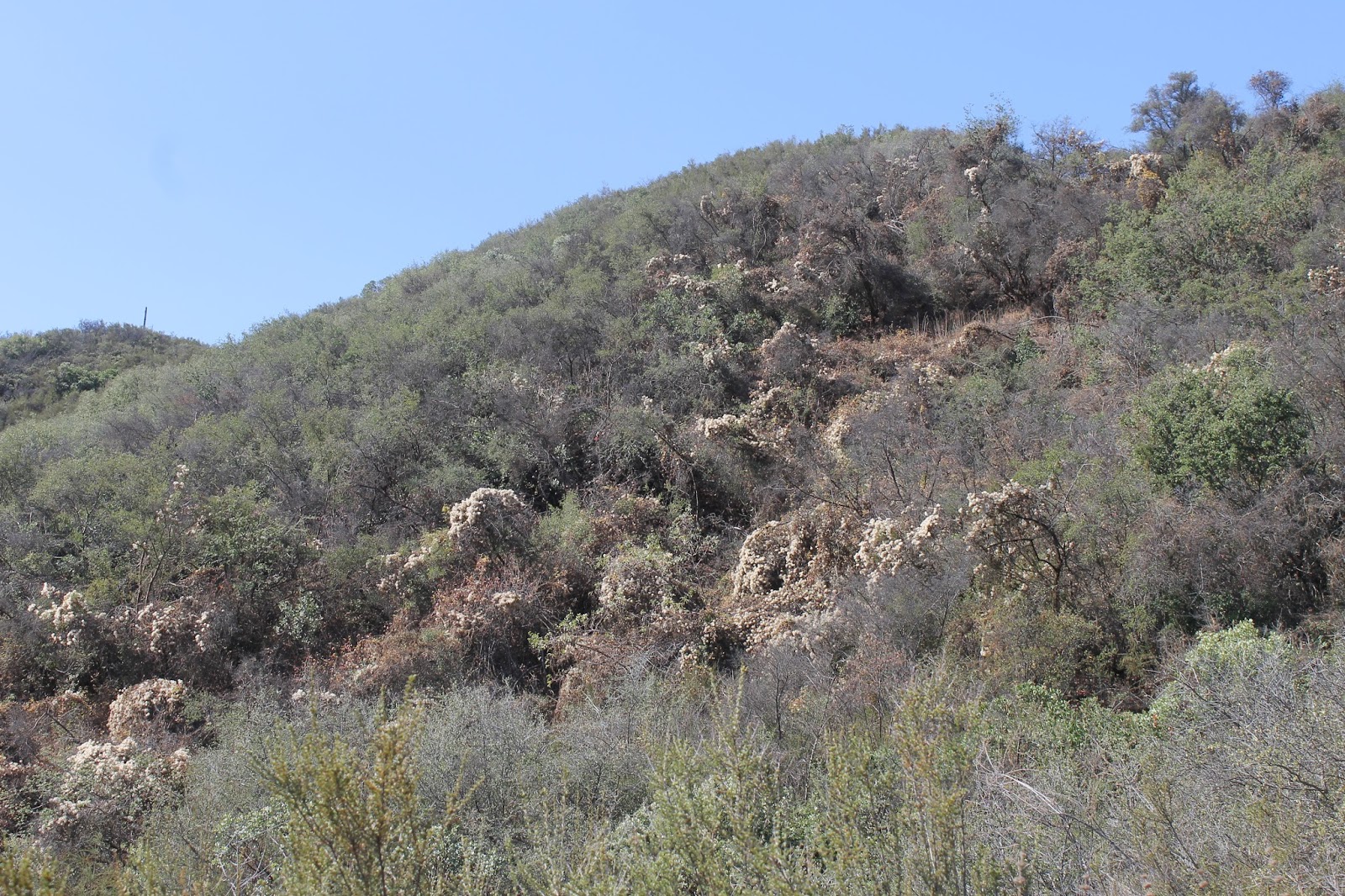
We did not make it up onto Machesna Mountain but did make it about halfway up. This entire area burned in the 106,668-acre Highway 58 Fire in August 1996.
Am I the only person to see a face in this riverine sedimentary rock formation?
During our hike we noted the smoke from the Canyon Fire burning in on Vandenberg Air Force Base in Santa Barbara County thickening up and moving more in our direction. By the time we got into Pozo (pictured above) en route home, the smoke both low-hanging and high-altitude was thickening up. All photos by Kim Patrick Noyes (all rights reserved). 

Monday, August 1, 2016

Amongst Elfin Pigmies

For many years I've heard about the Elfin Forest in Los Osos adjacent to the Morro Bay Estuary. I've driven by some of its trailheads on previous occasions, too, but never took the time to stop there and walk. That changed today as I visited it with my friends Kameron, Blake and his girlfriend Krystal. It was overcast with a thin veil of coastal stratus which gave some measure of respite from the harsh August sun and heat battering points further inland. I was in this area last week looking for a place to walk my dog which I was unable to do given California State Park's open hostility towards dogs or anything else non-native aside from people. This locality is under the management of San Luis Obispo County Parks and allows dogs on leashes which means I'll be back soon I hope with my little monster Tequila.

This tragic fiery head-on collision on Highway 46 East near Shandon is still seared in my mind. I was rather surprised that it was in any connected to this place but it is a most appropriate tribute.
I'm glad I visited this place before it might burn given the ongoing drought cum new drier normal and how heavy are the fuels here. A fire in here would really change the place in a way that it would take longer than my remaining lifetime to return to its former state.
I love the artistic patterns created by the Creator on this mudflat.
That is Morro Strand in the distance capped with sand dunes.
This was my first encounter with a dwarf forest of pigmy oaks.
Although not present in this image, there were patches of ferns growing scattered throughout this preserve.
All photos by Kim Patrick Noyes (all rights reserved).

Wednesday, July 27, 2016

Picture of the Day - Smoky Atascadero Hike

Today my brother by another mother, Mike, and I hiked the not yet completed trail system in the new 102-acre Three Bridges Oak Preserve on the west side of Atascadero off of Highway 41. It was hot and hard for me given my weight but it was what my dog Tequila and I needed at this point. Fortunately, we came prepared with ample ice water and the trail is well-graded so there are no killer sections. The smoke from the Soberanes Fire up at Big Sur/Carmel Highlands was very noticeable and air quality alerts were in place for San Luis Obispo County today. Photo by Kim Patrick Noyes (all rights reserved). 

Friday, September 11, 2015

My Ominously Smoky Bear Trail Hike

Today I got back in the groove of hiking/walking after a two-week hiatus in which I spent eight days in San Diego and never hiked or strenuously walked even once. Then, upon my return didn't do a lick for most of the week following as I was emotionally and spiritually drained. However, today's walk/hike did not go as planned despite it being unambitious in its intent. The two great wildfires in California currently raging in the Sierra Nevada (the Butte Fire and the Rough Fire) darkened our skies locally today to an extreme degree, especially the first half of the day. This pall of smoke cast an ominous pall over the 14th anniversary of 9/11. Adding to the weirdness for me was the fact 14 years ago yesterday I was up in the Gold Country watching the Darby Fire rage in the Stanislaus River Canyon roughly between the two major fires raging in the Sierra Nevada today. I had intended to watch it again today 14 years ago until I became aware of the 9/11 attacks while in Wal-Mart in Sonora, CA, getting more Hi-8 video canisters. All in all, all the elements of today's adventure added up to an odd experience for me. What follows is what I encountered on the outing shown in the order it happened while accompanied by my brother by another mother.

We had intended to hike the Rinconada Trail but this is what we encountered when we pulled off of Pozo Road to head up the short road to the trailhead. This closure went into effect during the recent and nearby Cuesta Fire. The fire is controlled but the closure remains for this part of the Los Padres National Forest.
Weirdly surreal billowing and wispy smoke filled the skies of the North County this morning. This view is looking west from Blinn Ranch Trail near the Salinas River and adjacent to the rock outcroppings.
As we walked westbound on Blinn Ranch Trail we realized we were walking on fresh black bear paw prints.... really big ones, so fresh that the hair on the animal's heal abraided the back of the paw print and crease-lines in the paw were visible. Needless to say, given the ongoing extreme drought and the desperation of such animals stressed by it, we turned around after a little while. Photos by Kim Patrick Noyes (all rights reserved).

Tuesday, July 28, 2015

Picture of the Day - Rinconada Changes

Today I took a hike on the Santa Lucia District of the Los Padres National Forest on one of my favorite trails, Rinconada Trail. My hiking wing-man had never been on it and I had not been on it since reaching the weight of 280 lbs. Needless to say, it was a first for both of us. After struggling with my first wind I felt great through my second and third winds. Of note on the ascent was the huge die-off of an invasive vine that had thrived in a sheltered drainage in the lee of the mountainside. Also, some other adjacent plants had died along with the vine colony. The cause was obvious: the spring which had supported much growth in that drainage including the vine had dried up since I last hiked this path last spring.
After getting back to the car parked at the trailhead I took my buddy around the mountain a short distance to see what remains of the Rinconada Mine adits and retorts and other mine artifacts. Since last I visited this site graffiti artists had desecrated the already violated site with much more substantial graffiti and target practice refuse.
Both photos by Kim Patrick Noyes (all rights reserved)

Monday, February 16, 2015

Picture of the Day - Pillow Lava On Mountaintop

My hiking buddy Mike and I made it up to the top of Rinconada Trial on the spine of Santa Lucia Mountains this morning. Near the top of one small mountain are various outcroppings of exposed pillow lava deposits which formed on the Mid-Miocene ocean-bed off of the coast of what would later become California.
Photo by Kim Patrick Noyes (all rights reserved).

Friday, January 30, 2015

Drought And History At Santa Margarita Lake

Today, after an extended absence from taking day hike excursions out into the hinterlands of San Luis Obispo County, my brother by another mother, Mike and I finally got out for a trek on the east side of Santa Margarita Lake (Salinas Reservoir) off of River Road via Pozo Road. The last time we visited this location was over a month ago and around the general time-frame that California had its big December 2014. Consequently, it was a lot wetter then in contrast to today. I found it shockingly dry despite those rains last month. The only sign that rain even happened was all the germinated green grass mingled with even more brown, dry, dead grass. Most shocking was the complete absence of any glimpse of the waters of Santa Margarita Lake. Of second-most interest today was our discovery of some relics of earlier eras of human activity in what is now the area of the lake-bed.  

After getting off the beaten path I spotted this concrete structure which normally should be under the waters of the lake.
I hiked down to the concrete structure to investigate further and attempt to determine its former purpose.
Upon viewing it from the south I determined it was a bridge for the former Pozo Road before the lake was formed.
In a normal summer this lake is a great fire break. This year the lake-bed will invite fire across its surface.
Note: this is the old Salinas River-bed heavily silted up due to the existence of the lake here since 1941.
Mike and Oscar made a discovery on this eroded stone outcropping just above the aforementioned concrete bridge ruin.
Chumash bedrock mortars.
The choice of location for this bedrock mortar site is obvious given it is at the junction of the Salinas River and a tributary.
My little monster amidst these wildflowers. I fear this may be as vivid as wildflowers get this year in the North County.
The bed of the Salinas River is outlined as a swath down the middle of the dead reed-covered dry bed of the eastern end of Santa Margarita Lake.
We found the remains of an old park outhouse... again off the beaten path we usually take here.
All photos by Kim Patrick Noyes (all rights reserved).