Showing posts with label heat waves. Show all posts

Thursday, August 9, 2012

Thunderstorm & Wildfire in 12 Frames

This afternoon in the midst of the most potent heat wave California has experienced thus far this year and perhaps in a few years some monsoonal moisture from Mexico leaked over the border. Numerous electrical storms ensued which caused new wildfire starts over various locales across San Diego, Riverside, and San Bernardino Counties. For a time I monitored one of these incidents via an HPWREN north-facing webcam atop Mesa Grande, a mountain in San Diego County. The two smokes you see in the images are two lightning-started wildfires in close proximity to one another that are predicted to burn together if they have not already. The storm that started them rapidly weakened and dissipated but that allowed drier air and sunlight to get to the fire and its fuels and combined with wind and heavy fuels and accessibility issues for firefighters allowed these fires to escape and become established. As of this evening the two fires (christened the Chihuahua Incident) have charred 900 acres which is nearly 1.5 square miles and is predicted to get much larger. At one point this afternoon while one of these two fires was bumping hard against Chihuahua Valley Road a fire whirl developed which spun across the road and established the fire on the opposite side of the road which firefighters had been vainly attempting to use as a control line. Note the pyrocumulus clouds building up out of the drift smoke at times (but not directly over the main convection column). Below are twelve frames edited from the 29-frame sequence of frames I saved and they are shown in chronological order.


Courtesy of the U.C. San Diego High Performance Wireless Research & Education Network.

Saturday, April 28, 2012

My First Ever Visit to Newport Pier

This fine morning we had some time to burn before our show started for the day. Therefore, Dave drove us down to Newport Beach, CA, and we visited the Newport Pier and drank in the Southern California climate and culture. The following images are what I witnessed. Two wonderful things I observed but was unable to capture on film to my satisfaction was a rather vociferous and boisterous sea lion hanging out around the pier trying to steal fish from fishermen and the three separate pods of dolphins visible from the pier. After this experience my attitude about living in Orange County softened quite a bit from its decidedly negative feeling. Parts of SoCal are still quite wonderful to visit and even reside despite all the changes in recent decades.
Be sure to check out what I did this evening HERE.

How quintessentially Southern California beach town-ish!
The approach to the Newport Pier.
Lots of little waves but not a lot of big ones.
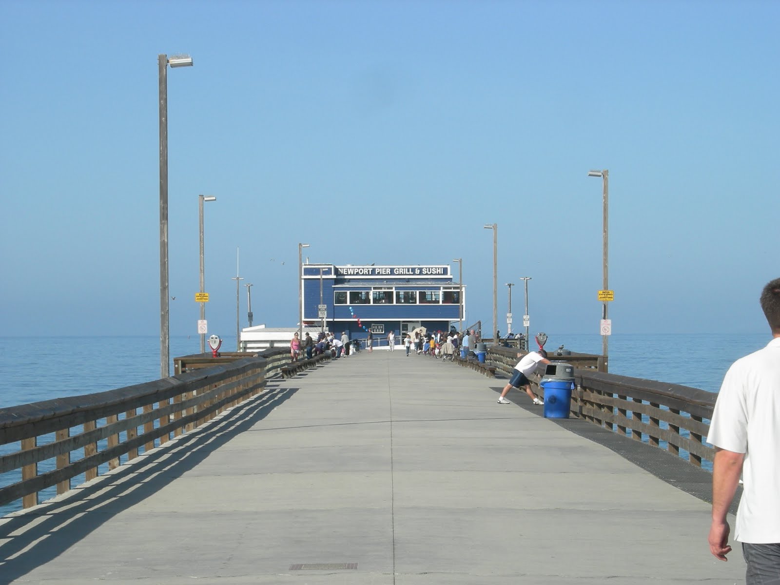
Newport Pier Grill & Sushi at pier's end.
Great white shark buffet table. 

My heart pumped peanut butter seeing all the Mexican fan palms... and sand!
Down the coast to south beyond the distant hills is Laguna Beach.
The mountain range in the distance to the left is the Santa Ana Mountains.
Newport Pier looking back towards land..
Newport Pier
Idyllic SoCal beach scene.
Laguna Hills beckon from down the coast.
Cool city seal!
A green ball of Newport Beach history.
All photos by Kim Patrick Noyes (all rights reserved).

Tuesday, May 13, 2008

First California Heat Wave of 2008

It looks like we're headed into the first genuine, full-blown California heat wave of 2008 starting Thursday.
Already we're heating up with today hotter than yesterday and tomorrow hotter than today.
Our grasses are rapidly turning brown and our flowers are rapidly shriveling up.
This has brought high fire danger to California early this year compared to normal.
Already serious fires have stricken the state north and south this year as the plentiful rains ended months ago leaving us with thick grasses that are now prematurely dry.

Currently, there is a serious fire burning on the Angeles National Forest on the flanks of Mount San Antonio a.k.a. Mount Baldy in Eastern Los Angeles County.
It is known as the Bighorn Fire and currently stands at 300 acres charred with 0% containment.
Tomorrow looks to the be the decisive day as to if it will go on to become a big fire or has already pretty much done what it will do.
Of course, this fire follows on the heels of the recent Santa Anita Fire in the same general area a few weeks ago that charred over 500 acres.

By the way, you can visually monitor the Bighorn Fire from the Mount Wilson Towercam operated by UCLA.
You can further monitor the progress of this fire on my Yahoo group California Disasters Group.

Remember to not lock children or pets in cars with the windows up during this time and to watch yourself while out excercising in this upcoming heat and renew your fire preparations if you live in an at-risk fire zone.


Fini