Showing posts with label hikes. Show all posts

Monday, March 19, 2018

My First Grey Pines Trail Hike

Today I took another vigorous hike on the west side/main section of Santa Margarita Lake Park with my hiking bros. I'm trying to get into a weekly routine of a 2-3 such hikes as I attempt to get back in physical fitness and lose weight. Below are some of the notable things I observed as I hiked the entirety of the Grey Pines Trail from Grey Pines Flat to Vaca Flat and back.

There are an abundance of interesting sedimentary rock formations.

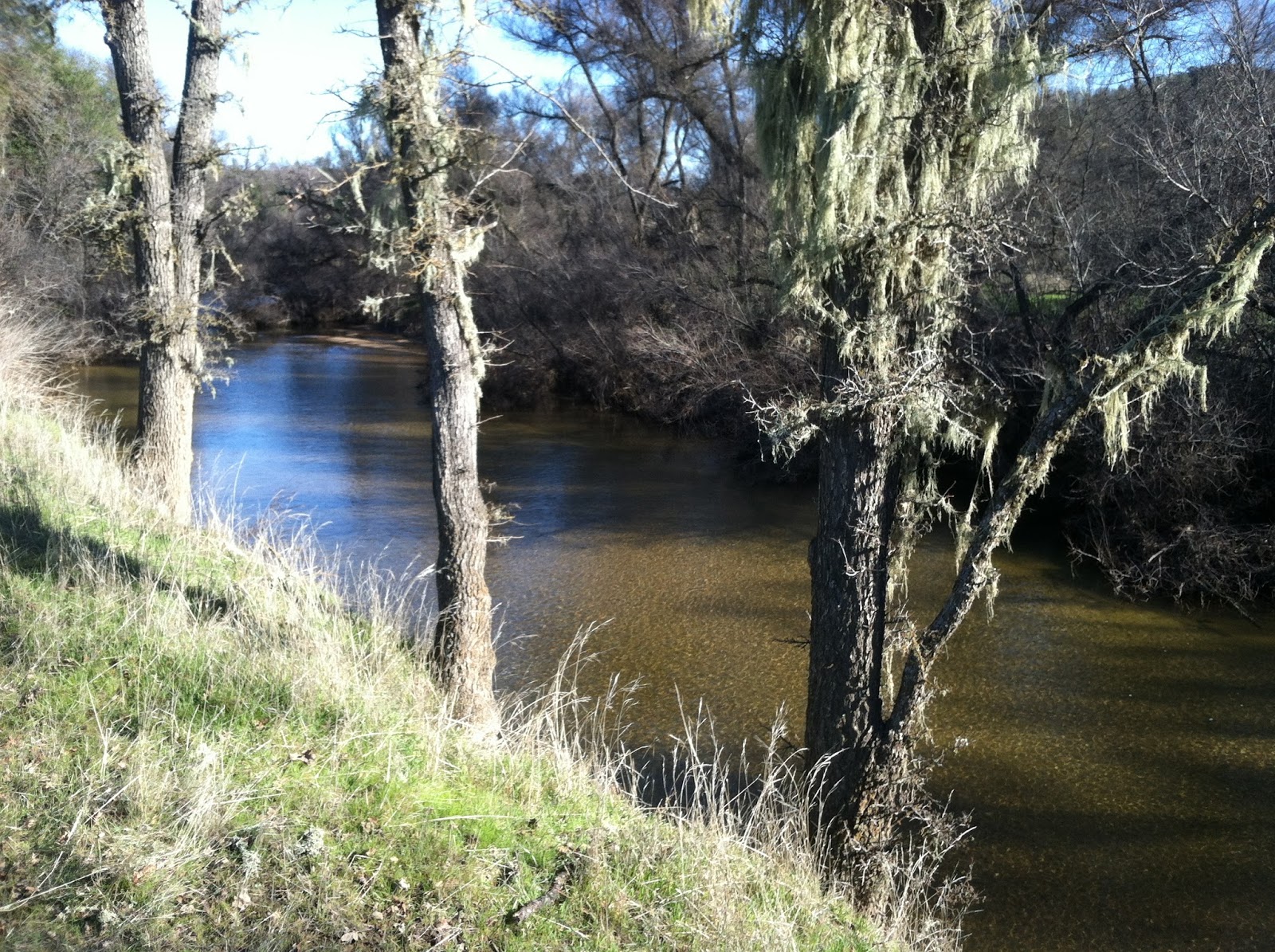
This part of the lake is also where the Salinas River Channel used to run before being dam impounded by the Salinas Reservoir Dam.

The main trail skirting the north shore of the lake is visible across the lake from here.

I christened this the Penis Formation for obvious reasons.

All the rock formations in this area are Miocene sedimentary deposits that have been tectonically lifted at a uniform angle.

On the way back to the car we encountered these vultures sunning themselves on a tree overlook. They seemed utterly unconcerned with our close proximity. All photos by Kim Patrick Noyes (all rights reserved).

Saturday, January 27, 2018

Picture of the Day - Salinas River Bedrock Mortar

Today after attending a memorial service, I accompanied my buddy Mike and his brother-in-law Joe out for a hike at East Santa Margarita Lake where I captured this image of a bedrock mortar on the rock formations on the hill at the junction of Toro Creek and the Salinas River. Photo by Kim Patrick Noyes (all rights reserved).

Saturday, January 28, 2017

Santa Margarita Lake Is Back

Today I headed out to the east side of Santa Margarita Lake (a.k.a. Salinas Reservoir) with Mike, my brother by another mother. We both hadn't hiked in too long and needed to get out and start a pattern of weekly hiking. I needed it as part of my decompressing from last week's big teaching experience and to recharge my mental-emotional batteries. Mission accomplished! It was especially satisfying to see how much water was everywhere including all types of watercourses and water catchments. Even parts of the trail we hiked (Blinn Ranch Trail which follows sections of the old road before the dam was filled) were covered in water or showed signs of water recently running over them. There were also washouts and minor landslides/rockfalls. The Salinas River was flowing strong into the back of the lake which is rapidly filling and nearly full. Areas of the back of the lake which had been bone dry for years and looking rather desolate were back under water or water was nearby.

All photos by Kim Patrick Noyes (all rights reserved)